
|
Photography Outdoors |
Tyler State ParkGPS Tracks: GPX format, KMZ format Overall, this trail is definitely worth checking out if you're in the area, but I wouldn't go out of my way to ride it. The trail network is 10 miles and consists of five loops: Loop EZ, A, B, C, and D, but they interconnect in such a way that you can do a big 8.5-mile loop that hits all of them and doesn't backtrack. The trails wind through beautiful climax pine forest with very little underbrush, so they are almost 100% shaded. They are mostly non-technical, flowy dirt track that is rarely flat but rarely steep either. There are a couple of creek drops, rooty climbs and drops, moderate grinds, and switchbacks that require a low degree of intermediate skill, but anyone who rides regularly in rocky or mountainous terrain will find this trail to be mostly easy and fast. From the park entrance, drive into the park and take the first left. Follow that road all the way down until you see a sign for "Evacuation Area #1" on the right. There is a less obvious sign that reads "Bicycle Trailhead Parking." Pull into that lot and park. NOTE: this parking area is directly across from the road that leads to the Group Pavilion. Ride down the road toward the Group Pavilion, and you'll see the trailhead on the left. Once you're on the trail, you'll almost immediately come to a four-way junction. Going left or straight takes you onto Loop EZ, which is a 0.75-mile totally flat and overgrown trail with numerous sand traps. Don't even bother with this. Instead, turn right onto Loop A. NOTE: bikes ride clockwise around the loops. Runners and hikers go counter-clockwise. Thus, you don't ever have the problem of getting behind a runner or a walker. However, this wouldn't really be a problem anyhow, as the trail system seems to be lightly used. I met two other serious mountain bikers (seemed to be locals) riding the trail, two helmetless fat kids pushing their Huffys up one of the hills, and one trail runner. Otherwise, I had the trail to myself. The trail system is generally well marked, although there are a few tricky intersections, and the trail is a bit faint in places due to being covered by thick pine straw. The trail markers have standard ski slope designations, which list Loop EZ as green, A and B as blue, and C and D as black. This is overstating the difficulty. Although the trails do get more difficult as you progress from A to D, there is nothing out there that's beyond an easy to moderate blue. Loop A is an easy, fast, non-technical trail that should, by all rights, be labeled green. The only real technical obstacle is a ramp that someone constructed by half burying a slab of iron ore 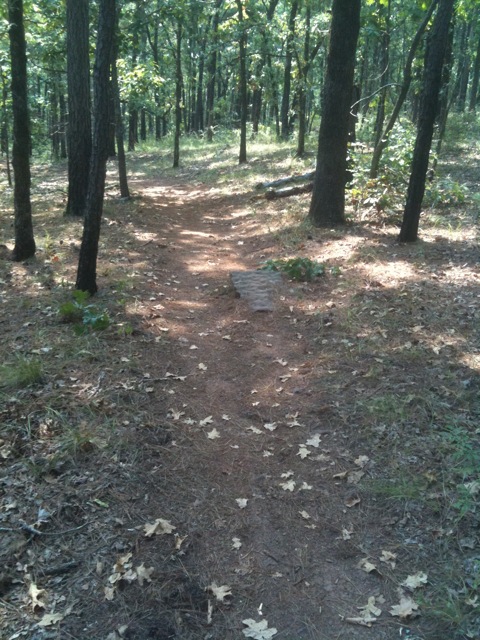 and a half-buried wooden rail that probably wasn't intended as a MTB obstacle but can still be used as one. There are a few very short and shallow climbs but nothing else worthy of note. Veering left onto Loop B, the trail starts to get a bit more rooty and has a few climbs and drops that beginners might find difficult. Loop B deserves its blue rating, just barely, because of a sustained climb on the backside of it (right at the very end of the big loop.) About halfway to the intersection with Loop C, you'll come to an unmarked Y junction. 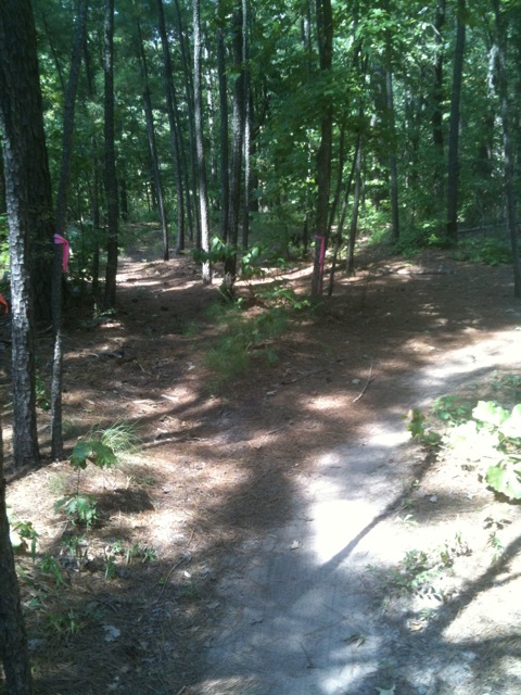 Veer right (do not go straight.) Soon after this, Loop B intersects a maintenance road. Turn left onto the road and ride a short distance down the road until you rejoin the trail to the right (this part is well marked.) Turning left onto Loop C, a trail marked black diamond but which is really an easy blue, you start to pick up some bigger roots and switchbacks, including a series of 5 or 6 of them that wind up a steep hill. This is actually a really good place to practice switchback riding technique, as the consequences for falling over are not severe. Another left turn onto Loop D takes you to the most difficult part of the course. Loop D, also marked black diamond but which is really a moderate blue, has more and bigger roots and several steep drops followed by steep climbs. The most difficult of these occurs on the backside of the loop between Area 1 and Group #3 on the TPWD map. This obstacle has a steep dirt drop about 50 feet into a creek drainage, followed by an equally steep climb out. This obstacle is not as steep as some of the steepest drops at Rocky Hill Ranch or Walnut Creek Metro Park, although it is longer. Passing the Group #3 parking area, you are treated to one moderately technical creek crossing. Whereas most of the trail network has well-maintained wooden bridges across the creeks, this creek is just wide enough and deep enough to perfectly fit your front wheel. Thus, it will endo you if you don't know what you're doing. Suggest approaching at low speed, planting your front wheel in the creek with your weight back, then bunny hopping out the other side. You will come to what looks like a triangle of trails with a tree in the middle. 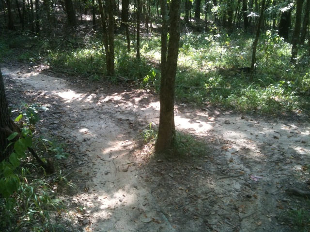 That's the intersection with Loop C. The signs are facing the other way, so it isn't obvious. Veer left onto Loop C. Back on Loop C, you get more short climbs and drops requiring moderate skill level. Turning left on Loop B, you cross the maintenance road again then are on the home stretch. Loop B has a sustained but not very steep climb near the end. It dumps you out on the road to the Group Pavilion, right across from where you started. More Information: |